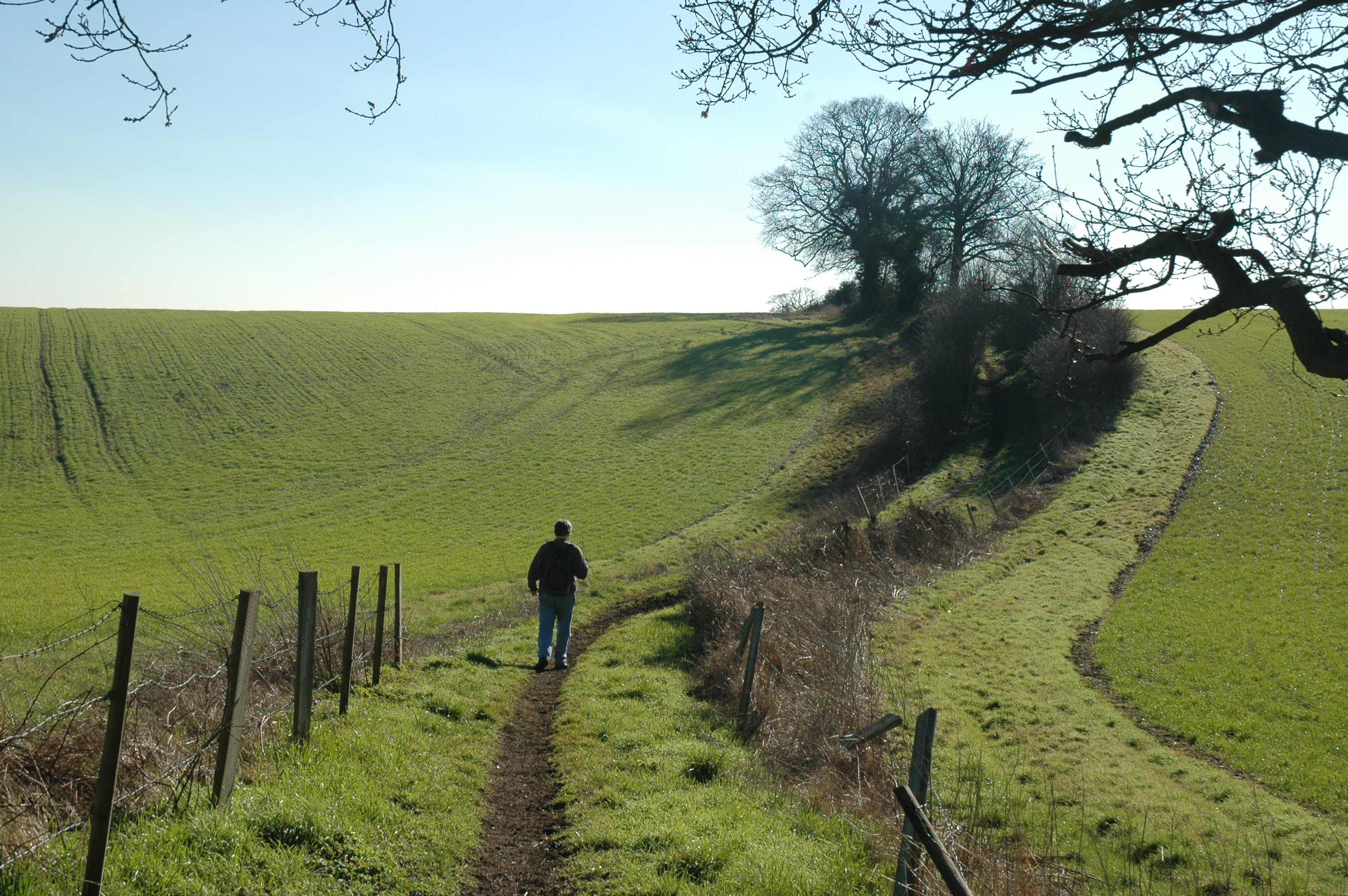
Here is a collection of over 100 walks totalling some 1,250 km or so. Some are in town, some in the Chilterns or Epping Forest and a few further afield. All start from and return to public transport and most are ccessible within the London transport zones.
In some ways walking in town is a lot less restricted than in the country - much less 'hedged in'. There are countless alternative routes to choose and you are much less likely to come to an impasse. There are a few walks specific to East Finchley being the area where I live.
I am sometimes asked how I devise my walks. First I read up about walks already published by others relating to the locality and look at leaflets/web sites for attractions in the area. A pleasant walking atmosphere is as important as anything else. To connect the walk together I tend to use London AZ for walks in town and Ordnance Survey Pathfinder series maps in country areas supplemented by information from noticeboards photographed en route. It will start at a tube or railway station and if possible return there. I use Google Earth to help choose between alternatives. Then I plot the route using Xara Designer Pro. After walking the route it is often necessary to make adjustments; further adjustments are made as and when other items of interest come to light.
Photos and maps with notes are available for most of the walks and are accessed via the many walks lists. Instructions for the walks are given on the map and background information is provided on additional pages. The maps and background information are in PDF format and can be preloaded on your tablet or smart phone and viewed in Adobe Reader or e-Reader. It is strongly recommended that you also take with you the equivalent Ordnance Survey map or equivalent. See sources for credits.
The transport section includes maps and public transport information for the London area.
![]()
There is a web page for each map, provided in the photos section, gathering together access to photos taken on the walk and to the relevant map and notes. Click on photos in any list for the relevant page; click on the walk title to access the map and notes directly. You can jog through these pages; however the map/page numbers are in no particular order!
Weather forecasts: BBC London area, Rain Radar
Maps: Bing Maps (access the Ordnance Survey maps via map type drop-down list), Open Street Map is invaluable for the detail contained on paths and tracks.
Distances are given in kilometres:
1 kilometre (miles) = 0.621371192 miles (m) ♦ 8 km is approximately
5 miles
The converter below calculates to a large number of decimal places and then
rounds the result to two decimal places.
| Choose a walk |